Sugarloaf Mountain
Greetings all,
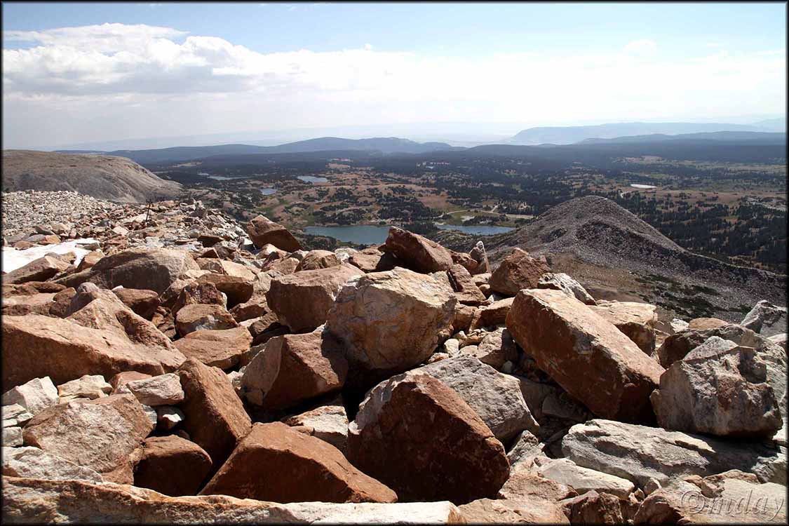
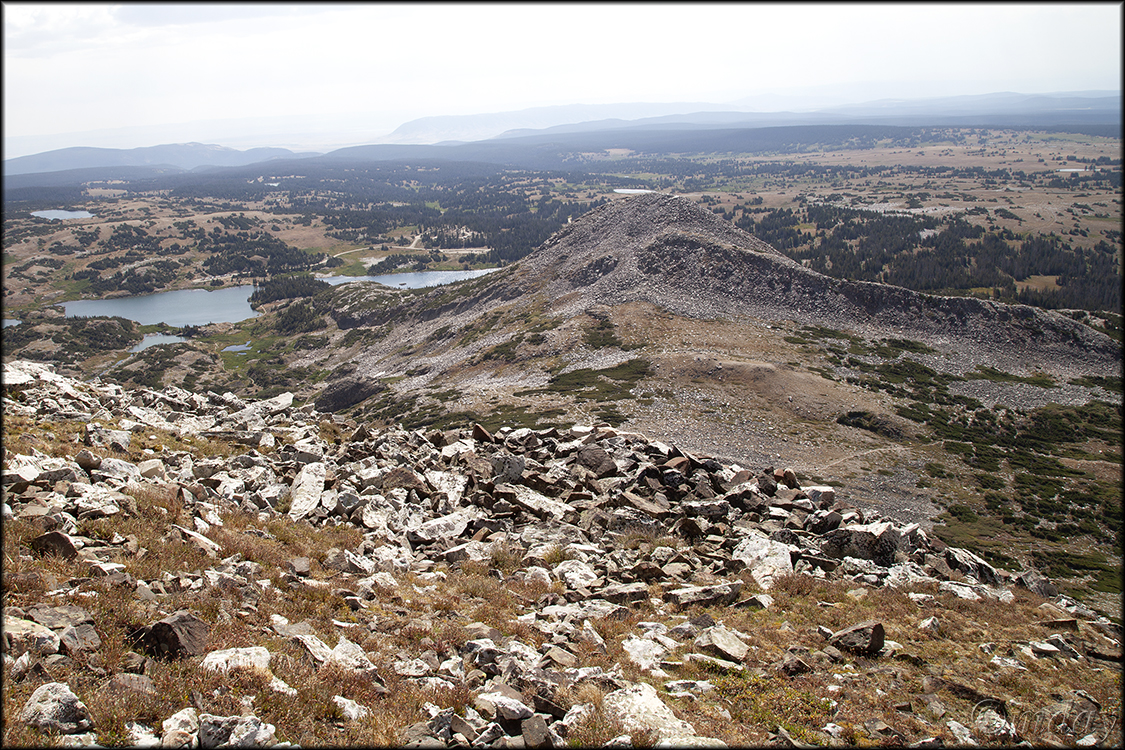
Hope your summer’s going well … only a few days left of our nice warm, snow free weather in Laramie. We’re all good: Sorrel’s healthy and getting her walks to the park most mornings; Susan’s running, playing tennis and soaking in our Sabel pool; and I’m playing pickleball, hiking and photographing wildflowers. But I also had a recent adventure worth sharing here: finally hiking to the summit of Sugarloaf Mountain. (Sugarloaf is one of two mountains in the Snowy Range often overlooked by day hikers; the other is Browns Peak; I plan to focus on both in a future YouTube video.) Located some 41 miles west of Laramie, Sugarloaf is a picturesque cone-shaped, boulder covered mountain most frequently encountered and photographed by visitors to Lewis Lake. For a few years now, I’ve wondered about the best route to reach the summit of Sugarloaf Mountain (elevation 11,398 feet) for a look around. Recently my friend Marty returned to Laramie for a few days and we planned a hike in the Snowies – the hike became an adventurous boulder climb to the summit of Sugarloaf Mountain. Below are a few photos.